Fulbourn: Huntsmill
Introduction
The photograph on this page of Fulbourn: Huntsmill by John Sutton as part of the Geograph project.
The Geograph project started in 2005 with the aim of publishing, organising and preserving representative images for every square kilometre of Great Britain, Ireland and the Isle of Man.

There are currently over 7.5m images from over 14,400 individuals and you can help contribute to the project by visiting https://www.geograph.org.uk
Fulbourn: Huntsmill
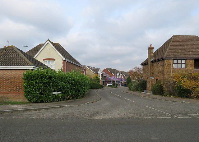
Image: © John Sutton Taken: 21 Nov 2019
A relatively recent development off Shelford Road on the south-western edge of the village. The road takes its name from the nearby windmill, which was built by Thomas Hunt of Soham in 1808.
Images are licensed for reuse under creativecommons.org/licenses/by-sa/2.0
Image Location


Leaflet Map data © OpenStreetMap
Latitude
52.179363
Longitude
0.210692