Becmead Avenue
Introduction
The photograph on this page of Becmead Avenue by James Emmans as part of the Geograph project.
The Geograph project started in 2005 with the aim of publishing, organising and preserving representative images for every square kilometre of Great Britain, Ireland and the Isle of Man.

There are currently over 7.5m images from over 14,400 individuals and you can help contribute to the project by visiting https://www.geograph.org.uk
Becmead Avenue
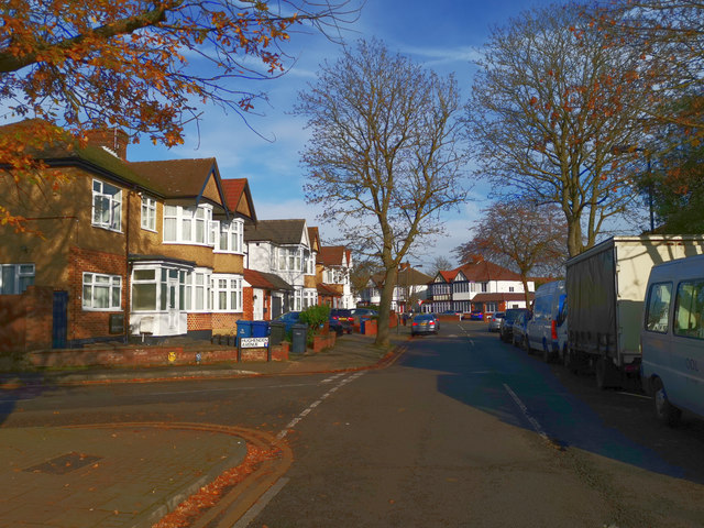
Image: © James Emmans Taken: 17 Nov 2019
Part of the London urban sprawl of Harrow. The term "urban sprawl" was first used in an article in The Times in 1955 as a negative comment on the state of London's outskirts. https://en.wikipedia.org/wiki/Urban_sprawl
Images are licensed for reuse under creativecommons.org/licenses/by-sa/2.0
Image Location
Latitude
51.587363
Longitude
-0.313022