Abergwili Road direction sign, Carmarthen
Introduction
The photograph on this page of Abergwili Road direction sign, Carmarthen by Jaggery as part of the Geograph project.
The Geograph project started in 2005 with the aim of publishing, organising and preserving representative images for every square kilometre of Great Britain, Ireland and the Isle of Man.

There are currently over 7.5m images from over 14,400 individuals and you can help contribute to the project by visiting https://www.geograph.org.uk
Abergwili Road direction sign, Carmarthen
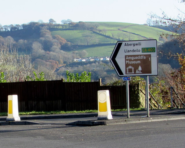
Image: © Jaggery Taken: 18 Nov 2019
The sign at the western end of Abergwili Road points the way to Abergwili, Llandeilo (via the A40) and a museum (amgueddfa in Welsh) one mile away. A small blue, white and red sign shows 47, indicating National Cycle Network Route 47.
Images are licensed for reuse under creativecommons.org/licenses/by-sa/2.0
Image Location
Latitude
51.865634
Longitude
-4.289449