Baulking Road near intersection with disused Wilts & Berks Canal
Introduction
The photograph on this page of Baulking Road near intersection with disused Wilts & Berks Canal by Vieve Forward as part of the Geograph project.
The Geograph project started in 2005 with the aim of publishing, organising and preserving representative images for every square kilometre of Great Britain, Ireland and the Isle of Man.

There are currently over 7.5m images from over 14,400 individuals and you can help contribute to the project by visiting https://www.geograph.org.uk
Baulking Road near intersection with disused Wilts & Berks Canal
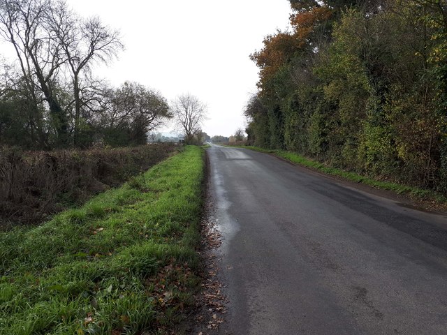
Image: © Vieve Forward Taken: 17 Nov 2019
The hump in the road is where the road intersects with the disused Wilts & Berks Canal. https://www.wbct.org.uk/ https://en.wikipedia.org/wiki/Wilts_%26_Berks_Canal
Images are licensed for reuse under creativecommons.org/licenses/by-sa/2.0
Image Location
Latitude
51.605543
Longitude
-1.549582