No cycling
Introduction
The photograph on this page of No cycling by Ian Capper as part of the Geograph project.
The Geograph project started in 2005 with the aim of publishing, organising and preserving representative images for every square kilometre of Great Britain, Ireland and the Isle of Man.

There are currently over 7.5m images from over 14,400 individuals and you can help contribute to the project by visiting https://www.geograph.org.uk
No cycling
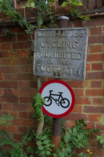
Image: © Ian Capper Taken: 11 Jun 2019
Leatherhead Urban District Council "no cycling" sign above a more recent pictorial version at the southern end of the footpath linking Belmont Road/Emlyn Lane to Station Road (see Image). There used to be a similar pair at the northern end of the path (see Image) but in 2019 only the pictorial one remained.
Images are licensed for reuse under creativecommons.org/licenses/by-sa/2.0
Image Location
Latitude
51.295005
Longitude
-0.332696