Holly Court
Introduction
The photograph on this page of Holly Court by Ian Capper as part of the Geograph project.
The Geograph project started in 2005 with the aim of publishing, organising and preserving representative images for every square kilometre of Great Britain, Ireland and the Isle of Man.

There are currently over 7.5m images from over 14,400 individuals and you can help contribute to the project by visiting https://www.geograph.org.uk
Holly Court
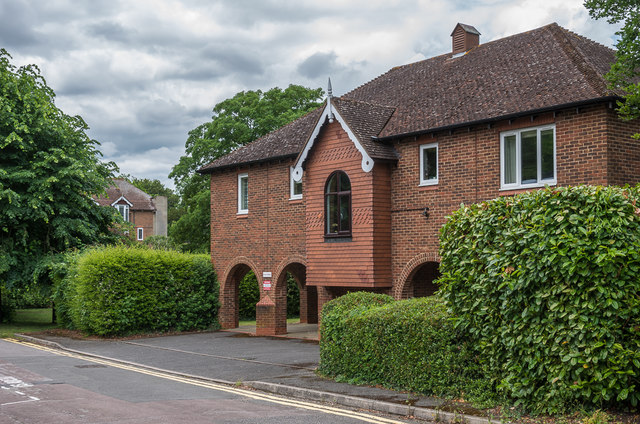
Image: © Ian Capper Taken: 11 Jun 2019
Retirement housing on Emlyn Lane/Belmont Road completed in 1987. From 1926 to 1969 the part facing onto Emlyn Lane (as seen here) was the site of Leatherhead Fire Station. The name would seem to come from that of a house in Belmont Road, demolished for the development, called The Hollies.
Images are licensed for reuse under creativecommons.org/licenses/by-sa/2.0
Image Location
Latitude
51.294558
Longitude
-0.333558