Cannon Mews
Introduction
The photograph on this page of Cannon Mews by Ian Capper as part of the Geograph project.
The Geograph project started in 2005 with the aim of publishing, organising and preserving representative images for every square kilometre of Great Britain, Ireland and the Isle of Man.

There are currently over 7.5m images from over 14,400 individuals and you can help contribute to the project by visiting https://www.geograph.org.uk
Cannon Mews
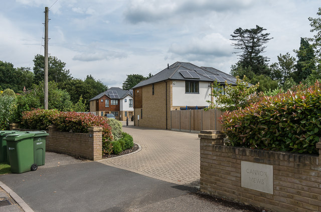
Image: © Ian Capper Taken: 10 Jul 2019
Cul-de-sac off Cannon Way, completed in 2014. Old maps show the site to once have been a piggery.
Images are licensed for reuse under creativecommons.org/licenses/by-sa/2.0
Image Location
Latitude
51.297015
Longitude
-0.34701