St Columba's Way - Tornagrain
Introduction
The photograph on this page of St Columba's Way - Tornagrain by valenta as part of the Geograph project.
The Geograph project started in 2005 with the aim of publishing, organising and preserving representative images for every square kilometre of Great Britain, Ireland and the Isle of Man.

There are currently over 7.5m images from over 14,400 individuals and you can help contribute to the project by visiting https://www.geograph.org.uk
St Columba's Way - Tornagrain
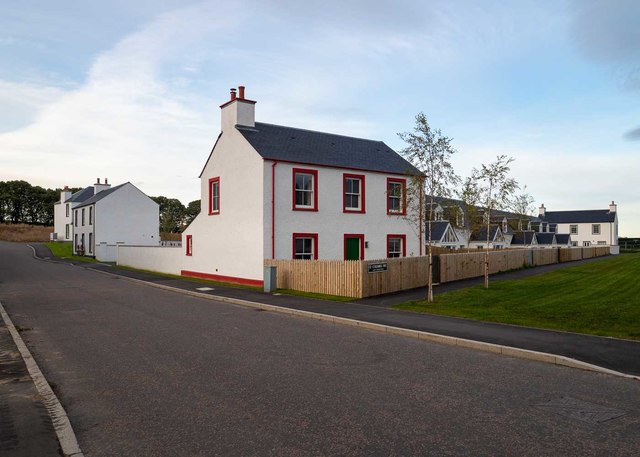
Image: © valenta Taken: 13 Oct 2019
The new town of Tornagrain is expanding, these new houses are at the northern perimeter of the town
Images are licensed for reuse under creativecommons.org/licenses/by-sa/2.0
Image Location
Latitude
57.526484
Longitude
-4.036593