The Lerburne becomes Wedmore Moor Drove
Introduction
The photograph on this page of The Lerburne becomes Wedmore Moor Drove by Derek Harper as part of the Geograph project.
The Geograph project started in 2005 with the aim of publishing, organising and preserving representative images for every square kilometre of Great Britain, Ireland and the Isle of Man.

There are currently over 7.5m images from over 14,400 individuals and you can help contribute to the project by visiting https://www.geograph.org.uk
The Lerburne becomes Wedmore Moor Drove
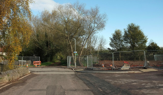
Image: © Derek Harper Taken: 3 Nov 2019
Showing the junction with Worthington Close on the left, close to where Image] was taken, looking across the building site on the right. See also Image, showing footpath AX 27/53 ahead.
Images are licensed for reuse under creativecommons.org/licenses/by-sa/2.0
Image Location
Latitude
51.228496
Longitude
-2.806527