Housing development, Wedmore
Introduction
The photograph on this page of Housing development, Wedmore by Derek Harper as part of the Geograph project.
The Geograph project started in 2005 with the aim of publishing, organising and preserving representative images for every square kilometre of Great Britain, Ireland and the Isle of Man.

There are currently over 7.5m images from over 14,400 individuals and you can help contribute to the project by visiting https://www.geograph.org.uk
Housing development, Wedmore
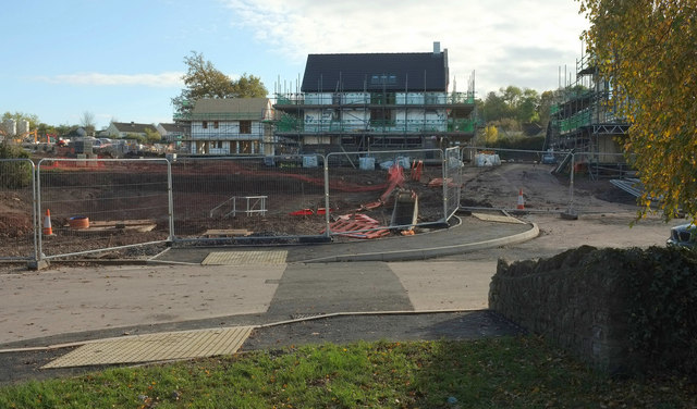
Image: © Derek Harper Taken: 3 Nov 2019
New houses rising by The Lerburne. According to maps, that most prominent building is just about sitting in a pond, which I assume got drained first. Two public footpaths cross the construction site, 40UC049 AX 27/51 to the left and 40UC049 AX 27/51 to the right.
Images are licensed for reuse under creativecommons.org/licenses/by-sa/2.0
Image Location
Latitude
51.227957
Longitude
-2.806518