Tafarn Braich y Cymer / Braich y Cymmer Inn
Introduction
The photograph on this page of Tafarn Braich y Cymer / Braich y Cymmer Inn by Alan Richards as part of the Geograph project.
The Geograph project started in 2005 with the aim of publishing, organising and preserving representative images for every square kilometre of Great Britain, Ireland and the Isle of Man.

There are currently over 7.5m images from over 14,400 individuals and you can help contribute to the project by visiting https://www.geograph.org.uk
Tafarn Braich y Cymer / Braich y Cymmer Inn
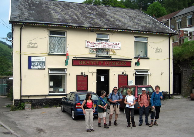
Image: © Alan Richards Taken: 19 Jun 2005
Cerddwyr y tu fas i Dafarn Braich y Cymer. Fe'i henwyd ar ol ffarm gerllaw. Walkers outside a public house known as Braich y Cymmer < cymer (trans. ridge above the [river] confluence). The pub is named after a nearby farm.
Images are licensed for reuse under creativecommons.org/licenses/by-sa/2.0
Image Location
Latitude
51.596094
Longitude
-3.582531