Eddington: up Turing Way
Introduction
The photograph on this page of Eddington: up Turing Way by John Sutton as part of the Geograph project.
The Geograph project started in 2005 with the aim of publishing, organising and preserving representative images for every square kilometre of Great Britain, Ireland and the Isle of Man.

There are currently over 7.5m images from over 14,400 individuals and you can help contribute to the project by visiting https://www.geograph.org.uk
Eddington: up Turing Way
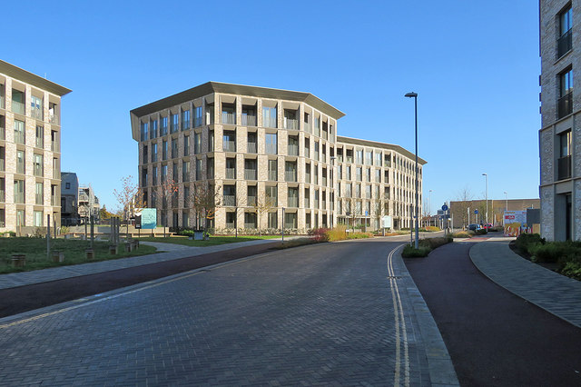
Image: © John Sutton Taken: 10 Nov 2019
Looking towards Eddington Avenue from opposite Veteran Oak Gardens. The blocks on the left were completed recently. Image] shows this area being built in July 2018.
Images are licensed for reuse under creativecommons.org/licenses/by-sa/2.0
Image Location
Latitude
52.219838
Longitude
0.086647