Flooding at Kelham bridge
Introduction
The photograph on this page of Flooding at Kelham bridge by Jonathan Thacker as part of the Geograph project.
The Geograph project started in 2005 with the aim of publishing, organising and preserving representative images for every square kilometre of Great Britain, Ireland and the Isle of Man.

There are currently over 7.5m images from over 14,400 individuals and you can help contribute to the project by visiting https://www.geograph.org.uk
Flooding at Kelham bridge
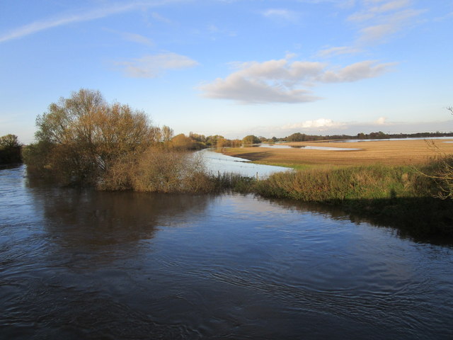
Image: © Jonathan Thacker Taken: 10 Nov 2019
Looking downstream. The road to Newark is closed because of extensive flooding in the area. Some homes have been evacuated.
Images are licensed for reuse under creativecommons.org/licenses/by-sa/2.0
Image Location
Latitude
53.093685
Longitude
-0.842502