Burn Mill Dam, Kirkland
Introduction
The photograph on this page of Burn Mill Dam, Kirkland by Becky Williamson as part of the Geograph project.
The Geograph project started in 2005 with the aim of publishing, organising and preserving representative images for every square kilometre of Great Britain, Ireland and the Isle of Man.

There are currently over 7.5m images from over 14,400 individuals and you can help contribute to the project by visiting https://www.geograph.org.uk
Burn Mill Dam, Kirkland
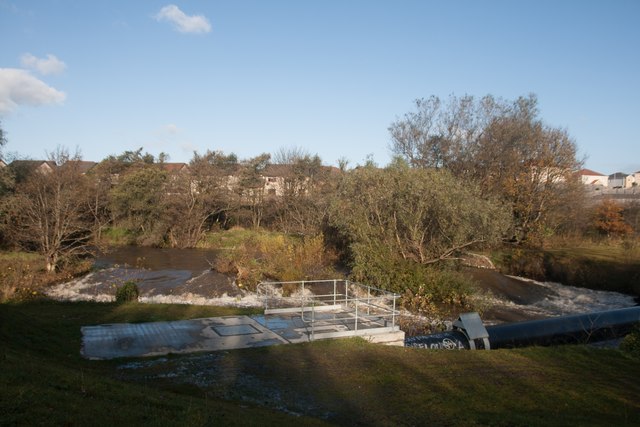
Image: © Becky Williamson Taken: 5 Nov 2019
Built over the River Leven, which here forms the boundary between Scoonie parish to the north and Wemyss parish to the south.
Images are licensed for reuse under creativecommons.org/licenses/by-sa/2.0
Image Location
Latitude
56.194555
Longitude
-3.026651