Fambridge Hall near White Notley
Introduction
The photograph on this page of Fambridge Hall near White Notley by Robin Webster as part of the Geograph project.
The Geograph project started in 2005 with the aim of publishing, organising and preserving representative images for every square kilometre of Great Britain, Ireland and the Isle of Man.

There are currently over 7.5m images from over 14,400 individuals and you can help contribute to the project by visiting https://www.geograph.org.uk
Fambridge Hall near White Notley
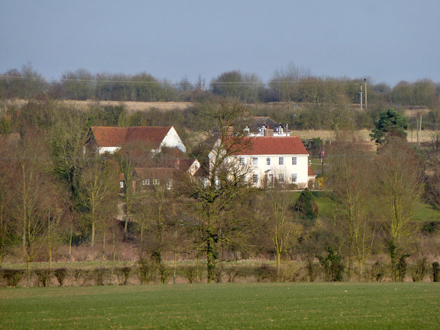
Image: © Robin Webster Taken: 5 Mar 2013
A grade II listed mainly 18th century building. Most of the outbuildings and barns are also grade II listed.
Images are licensed for reuse under creativecommons.org/licenses/by-sa/2.0
Image Location
Latitude
51.839309
Longitude
0.592054