Munlochy Mill
Introduction
The photograph on this page of Munlochy Mill by valenta as part of the Geograph project.
The Geograph project started in 2005 with the aim of publishing, organising and preserving representative images for every square kilometre of Great Britain, Ireland and the Isle of Man.

There are currently over 7.5m images from over 14,400 individuals and you can help contribute to the project by visiting https://www.geograph.org.uk
Munlochy Mill
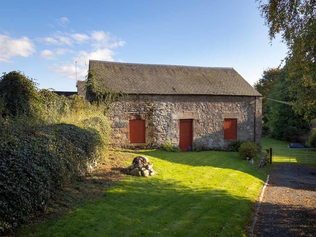
Image: © valenta Taken: 15 Oct 2019
Viewed from Millbank Road, the Mill does not have listed status and is undated, although it appears on the first 25" OS Map of 1880. https://canmore.org.uk/site/112254/munlochy-mill
Images are licensed for reuse under creativecommons.org/licenses/by-sa/2.0
Image Location
Latitude
57.548786
Longitude
-4.262289