Marl Hall woods 1
Introduction
The photograph on this page of Marl Hall woods 1 by Jonathan Wilkins as part of the Geograph project.
The Geograph project started in 2005 with the aim of publishing, organising and preserving representative images for every square kilometre of Great Britain, Ireland and the Isle of Man.

There are currently over 7.5m images from over 14,400 individuals and you can help contribute to the project by visiting https://www.geograph.org.uk
Marl Hall woods 1
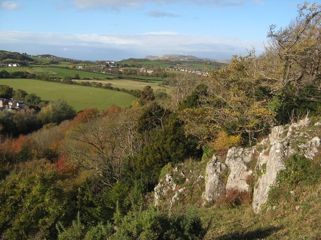
Image: © Jonathan Wilkins Taken: 3 Nov 2019
Autumn tints are becoming apparent in the Marl Hall woods. This area, with exposed Carboniferous Limestone has recently been cleared of scrub which had invaded an area of long-disused quarrying. A significant cliff drops away to the left of the camera.
Images are licensed for reuse under creativecommons.org/licenses/by-sa/2.0
Image Location
Latitude
53.293927
Longitude
-3.804542