Junction of Trotshill Lane west and Slade Avenue
Introduction
The photograph on this page of Junction of Trotshill Lane west and Slade Avenue by Chris Allen as part of the Geograph project.
The Geograph project started in 2005 with the aim of publishing, organising and preserving representative images for every square kilometre of Great Britain, Ireland and the Isle of Man.

There are currently over 7.5m images from over 14,400 individuals and you can help contribute to the project by visiting https://www.geograph.org.uk
Junction of Trotshill Lane west and Slade Avenue
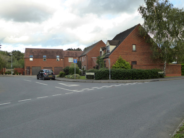
Image: © Chris Allen Taken: 6 Oct 2019
Trotshill Lane is an old, pre-existing thoroughfare in the midst of much new development. The photographer is looking across Slade Avenue that is part of the Lyppard-Hanford development.
Images are licensed for reuse under creativecommons.org/licenses/by-sa/2.0
Image Location
Latitude
52.202628
Longitude
-2.181541