Former barn
Introduction
The photograph on this page of Former barn by Bob Harvey as part of the Geograph project.
The Geograph project started in 2005 with the aim of publishing, organising and preserving representative images for every square kilometre of Great Britain, Ireland and the Isle of Man.

There are currently over 7.5m images from over 14,400 individuals and you can help contribute to the project by visiting https://www.geograph.org.uk
Former barn
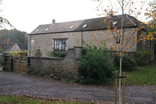
Image: © Bob Harvey Taken: 30 Oct 2019
This house is the same building as Image, seen from the other side in Maltings Yard. See https://historicengland.org.uk/listing/the-list/list-entry/1361533
Images are licensed for reuse under creativecommons.org/licenses/by-sa/2.0
Image Location
Latitude
52.690133
Longitude
-0.63319