The Black Cart Water
Introduction
The photograph on this page of The Black Cart Water by Lairich Rig as part of the Geograph project.
The Geograph project started in 2005 with the aim of publishing, organising and preserving representative images for every square kilometre of Great Britain, Ireland and the Isle of Man.

There are currently over 7.5m images from over 14,400 individuals and you can help contribute to the project by visiting https://www.geograph.org.uk
The Black Cart Water
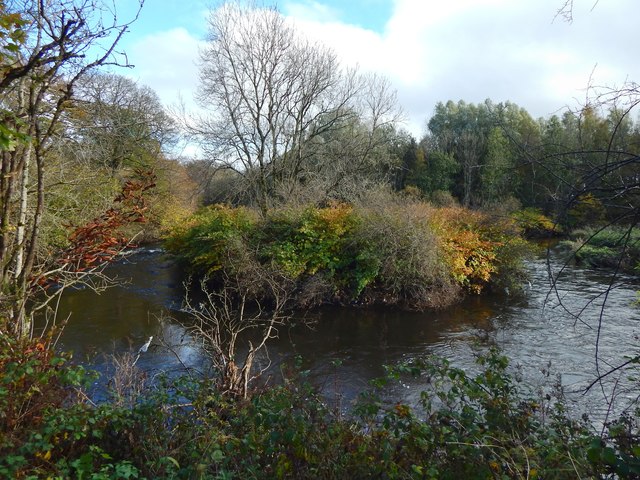
Image: © Lairich Rig Taken: 24 Oct 2019
There is a tight loop in the river here, bringing it close to an old mill lade that is just behind the photographer's position; these features are clearly shown on the map. Compare Image, where this same loop in the Black Cart Water can be seen in the right background, and the mill lade appears in the foreground.
Images are licensed for reuse under creativecommons.org/licenses/by-sa/2.0
Image Location
Latitude
55.844939
Longitude
-4.495509