London City Island: Botanic Square, E14
Introduction
The photograph on this page of London City Island: Botanic Square, E14 by Nigel Cox as part of the Geograph project.
The Geograph project started in 2005 with the aim of publishing, organising and preserving representative images for every square kilometre of Great Britain, Ireland and the Isle of Man.

There are currently over 7.5m images from over 14,400 individuals and you can help contribute to the project by visiting https://www.geograph.org.uk
London City Island: Botanic Square, E14
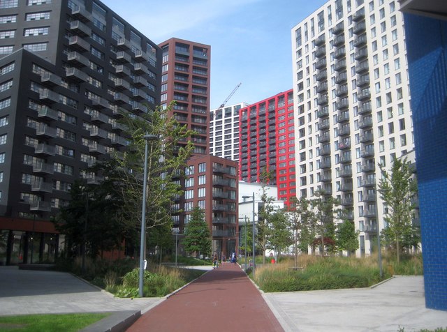
Image: © Nigel Cox Taken: 29 Aug 2019
This is the central plaza of the new London City Island development, on the Leamouth Peninsula. From a geographical point of view it is not an island at all, but a spur of land that the tidal River Lee has meandered around, with the neck about 85 metres wide at its narrowest point. For a photograph of the site taken in 2008 by myself, when construction work was just commencing, please see Image
Images are licensed for reuse under creativecommons.org/licenses/by-sa/2.0
Image Location
Latitude
51.511664
Longitude
0.005845