Junction of Dovedale Road and Melton Road
Introduction
The photograph on this page of Junction of Dovedale Road and Melton Road by Luke Shaw as part of the Geograph project.
The Geograph project started in 2005 with the aim of publishing, organising and preserving representative images for every square kilometre of Great Britain, Ireland and the Isle of Man.

There are currently over 7.5m images from over 14,400 individuals and you can help contribute to the project by visiting https://www.geograph.org.uk
Junction of Dovedale Road and Melton Road
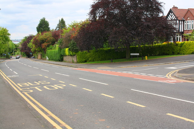
Image: © Luke Shaw Taken: 12 May 2018
In 1856 the Ordnance Survey cut a benchmark on a kerb stone here when the main road ran through fields. See www.bench-marks.org.uk/bm20194 for more information.
Images are licensed for reuse under creativecommons.org/licenses/by-sa/2.0
Image Location
Latitude
52.921156
Longitude
-1.124209