St Philips Church, Nutley Lane
Introduction
The photograph on this page of St Philips Church, Nutley Lane by Ian Capper as part of the Geograph project.
The Geograph project started in 2005 with the aim of publishing, organising and preserving representative images for every square kilometre of Great Britain, Ireland and the Isle of Man.

There are currently over 7.5m images from over 14,400 individuals and you can help contribute to the project by visiting https://www.geograph.org.uk
St Philips Church, Nutley Lane
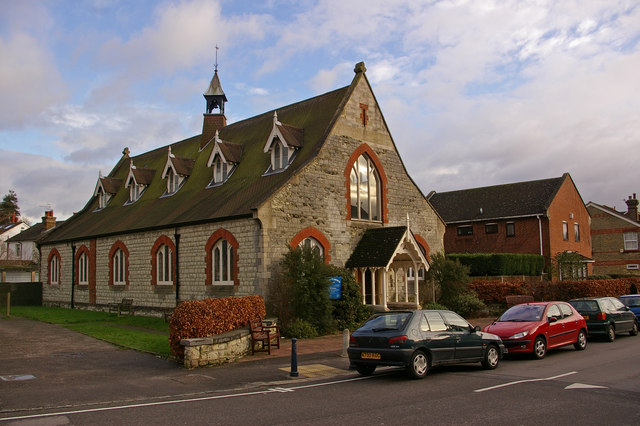
Image: © Ian Capper Taken: 10 Dec 2007
This church dates from 1863, when it was known as the Nutley Lane Church. It was given the name St Philips Church in 1920.
Images are licensed for reuse under creativecommons.org/licenses/by-sa/2.0
Image Location


Leaflet Map data © OpenStreetMap
Latitude
51.242164
Longitude
-0.211496