Changes south of Mill Road Bridge
Introduction
The photograph on this page of Changes south of Mill Road Bridge by John Sutton as part of the Geograph project.
The Geograph project started in 2005 with the aim of publishing, organising and preserving representative images for every square kilometre of Great Britain, Ireland and the Isle of Man.

There are currently over 7.5m images from over 14,400 individuals and you can help contribute to the project by visiting https://www.geograph.org.uk
Changes south of Mill Road Bridge
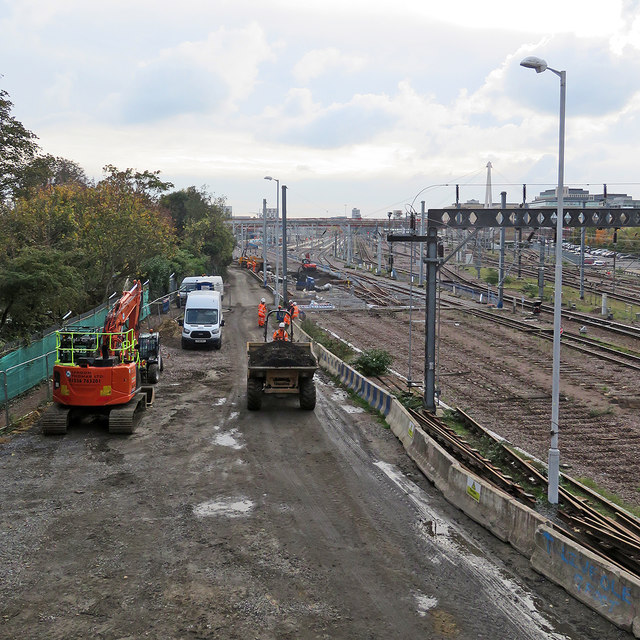
Image: © John Sutton Taken: 28 Oct 2019
Work continues on the new carriage sidings. Image] (July 2019) and Image] (August 2019) show earlier stages of the work and Image] how things were in 2011.
Images are licensed for reuse under creativecommons.org/licenses/by-sa/2.0
Image Location
Latitude
52.197827
Longitude
0.140783