The track to Longdales
Introduction
The photograph on this page of The track to Longdales by Christine Johnstone as part of the Geograph project.
The Geograph project started in 2005 with the aim of publishing, organising and preserving representative images for every square kilometre of Great Britain, Ireland and the Isle of Man.

There are currently over 7.5m images from over 14,400 individuals and you can help contribute to the project by visiting https://www.geograph.org.uk
The track to Longdales
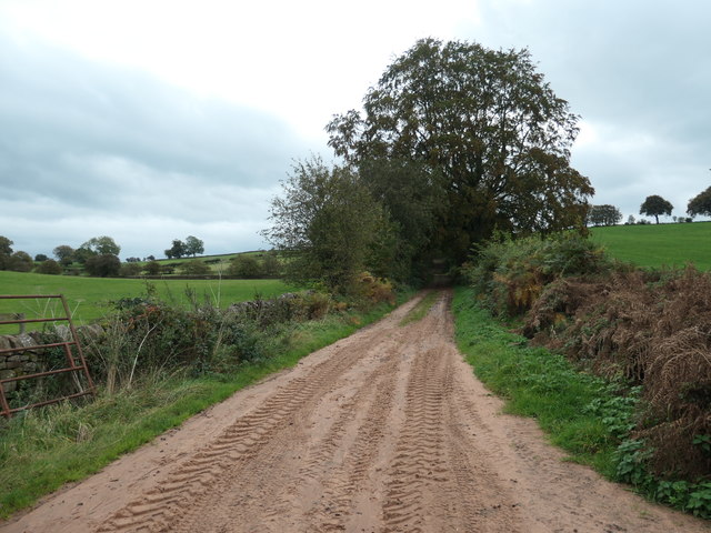
Image: © Christine Johnstone Taken: 22 Oct 2019
An 'other route with public access' heading south from the Armathwaite - Ainstable road.
Images are licensed for reuse under creativecommons.org/licenses/by-sa/2.0
Image Location
Latitude
54.80519
Longitude
-2.751376