Vauxhall St
Introduction
The photograph on this page of Vauxhall St by Nigel Mykura as part of the Geograph project.
The Geograph project started in 2005 with the aim of publishing, organising and preserving representative images for every square kilometre of Great Britain, Ireland and the Isle of Man.

There are currently over 7.5m images from over 14,400 individuals and you can help contribute to the project by visiting https://www.geograph.org.uk
Vauxhall St
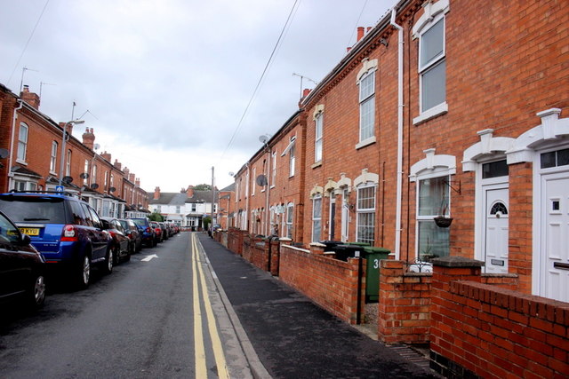
Image: © Nigel Mykura Taken: 28 Sep 2019
Vauxhall St is a narrow residential street of red brick terraced houses from the Victorian era that runs between Church St and Astwood Rd. there is hardly any space for cars to drive along it due to the line of parked cars along one side.
Images are licensed for reuse under creativecommons.org/licenses/by-sa/2.0
Image Location
Latitude
52.204291
Longitude
-2.209058