Llwybr i Felingwm Uchaf / Path to Felingwm Uchaf
Introduction
The photograph on this page of Llwybr i Felingwm Uchaf / Path to Felingwm Uchaf by Alan Richards as part of the Geograph project.
The Geograph project started in 2005 with the aim of publishing, organising and preserving representative images for every square kilometre of Great Britain, Ireland and the Isle of Man.

There are currently over 7.5m images from over 14,400 individuals and you can help contribute to the project by visiting https://www.geograph.org.uk
Llwybr i Felingwm Uchaf / Path to Felingwm Uchaf
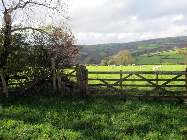
Image: © Alan Richards Taken: 23 Oct 2019
Sticil doredig ar lwybr cyhoeddus yn mynd i gyfeiriad pentre Felingwm Uchaf. A broken stile on a public footpath heading towards the village of Felingwm Uchaf (trans. the upper mill in the valley).
Images are licensed for reuse under creativecommons.org/licenses/by-sa/2.0
Image Location
Latitude
51.899365
Longitude
-4.16063