Former railway bridge, Devonport
Introduction
The photograph on this page of Former railway bridge, Devonport by Derek Harper as part of the Geograph project.
The Geograph project started in 2005 with the aim of publishing, organising and preserving representative images for every square kilometre of Great Britain, Ireland and the Isle of Man.

There are currently over 7.5m images from over 14,400 individuals and you can help contribute to the project by visiting https://www.geograph.org.uk
Former railway bridge, Devonport
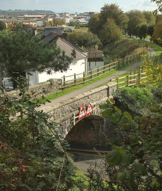
Image: © Derek Harper Taken: 19 Oct 2019
Another view of Image from City College's car park. The bridge is now used as a path to Stonehouse Creek. In the background is Stonehouse.
Images are licensed for reuse under creativecommons.org/licenses/by-sa/2.0
Image Location
Latitude
50.372628
Longitude
-4.166573