Jowett House farm
Introduction
The photograph on this page of Jowett House farm by Stephen Craven as part of the Geograph project.
The Geograph project started in 2005 with the aim of publishing, organising and preserving representative images for every square kilometre of Great Britain, Ireland and the Isle of Man.

There are currently over 7.5m images from over 14,400 individuals and you can help contribute to the project by visiting https://www.geograph.org.uk
Jowett House farm
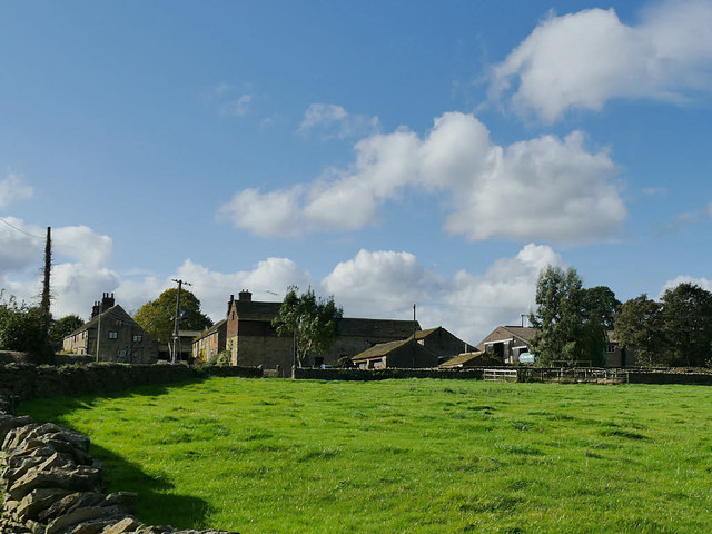
Image: © Stephen Craven Taken: 17 Oct 2019
The farm has 14th century origins although the present buildings, some of which are grade II listed, date from the 17th century onwards, see http://midgleywebpages.com/jowetthouse.html for a more detailed history. See Image and Image for closer views.
Images are licensed for reuse under creativecommons.org/licenses/by-sa/2.0
Image Location
Latitude
53.567217
Longitude
-1.598629