Alkrington Hall
Introduction
The photograph on this page of Alkrington Hall by Keith Williamson as part of the Geograph project.
The Geograph project started in 2005 with the aim of publishing, organising and preserving representative images for every square kilometre of Great Britain, Ireland and the Isle of Man.

There are currently over 7.5m images from over 14,400 individuals and you can help contribute to the project by visiting https://www.geograph.org.uk
Alkrington Hall
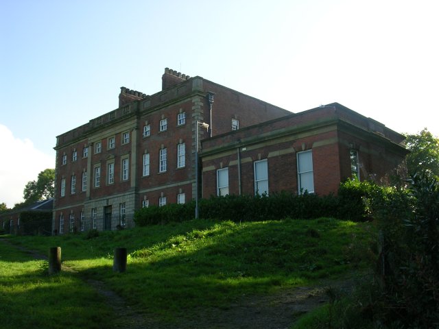
Image: © Keith Williamson Taken: 5 Oct 2005
The northern elevation of Alkrington Hall, seen here, looks out over the Irk Valley towards Middleton. The Hall was built in 1736. SD86540519.
Images are licensed for reuse under creativecommons.org/licenses/by-sa/2.0
Image Location


Leaflet Map data © OpenStreetMap
Latitude
53.543176
Longitude
-2.204588