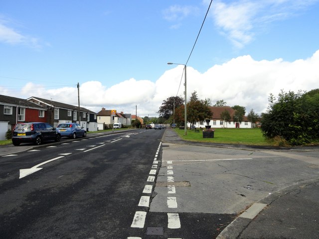
The main street in Nettlesworth
Introduction
The photograph on this page of The main street in Nettlesworth by Robert Graham as part of the Geograph project.
The Geograph project started in 2005 with the aim of publishing, organising and preserving representative images for every square kilometre of Great Britain, Ireland and the Isle of Man.
There are currently over 7.5m images from over 14,400 individuals and you can help contribute to the project by visiting https://www.geograph.org.uk

Image: © Robert Graham Taken: 23 Sep 2019
This is looking west along Park View, part of the B6312 which runs through the village from Sacriston, to the main A167 a short distance west of here. Most of the village housing is of fairly recent origins, as shown here. The village was created as miners houses in the mid 19th century, but there was an earlier one dating back to medieval times. However, it wasn't on this site, but a couple of kilometres to the west, near present day Sacriston.

