Pasture above Cyfronydd Station
Introduction
The photograph on this page of Pasture above Cyfronydd Station by Penny Mayes as part of the Geograph project.
The Geograph project started in 2005 with the aim of publishing, organising and preserving representative images for every square kilometre of Great Britain, Ireland and the Isle of Man.

There are currently over 7.5m images from over 14,400 individuals and you can help contribute to the project by visiting https://www.geograph.org.uk
Pasture above Cyfronydd Station
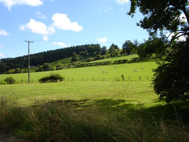
Image: © Penny Mayes Taken: 12 Aug 2007
The forestry plantation is Pen-y-coed in the next square east.
Images are licensed for reuse under creativecommons.org/licenses/by-sa/2.0
Image Location
Latitude
52.659257
Longitude
-3.274683