Station & Boundary Road
Introduction
The photograph on this page of Station & Boundary Road by Simon Carey as part of the Geograph project.
The Geograph project started in 2005 with the aim of publishing, organising and preserving representative images for every square kilometre of Great Britain, Ireland and the Isle of Man.

There are currently over 7.5m images from over 14,400 individuals and you can help contribute to the project by visiting https://www.geograph.org.uk
Station & Boundary Road
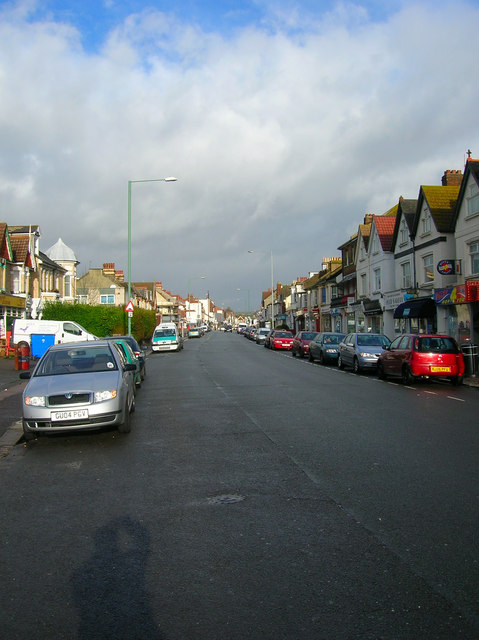
Image: © Simon Carey Taken: 9 Dec 2007
Somewhere up the middle of road lies the parish boundary between Portslade and Hove.Subsequently, with two councils owning the street it has two names. The western, Portslade side (left) is called Station Road, the eastern, Hove side (right) is called Boundary Road. Now the B2194 it is the main shopping street for the Portslade and Aldrington area.
Images are licensed for reuse under creativecommons.org/licenses/by-sa/2.0
Image Location
Latitude
50.832379
Longitude
-0.207607