West side of Plawsworth
Introduction
The photograph on this page of West side of Plawsworth by Robert Graham as part of the Geograph project.
The Geograph project started in 2005 with the aim of publishing, organising and preserving representative images for every square kilometre of Great Britain, Ireland and the Isle of Man.

There are currently over 7.5m images from over 14,400 individuals and you can help contribute to the project by visiting https://www.geograph.org.uk
West side of Plawsworth
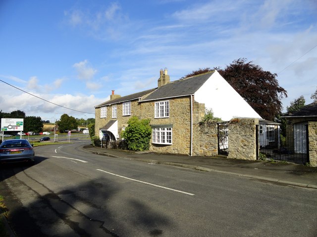
Image: © Robert Graham Taken: 23 Sep 2019
This is the west end of the village street, Wheatleywell Lane. The slip road onto the A167 can be seen behind the houses.
Images are licensed for reuse under creativecommons.org/licenses/by-sa/2.0
Image Location
Latitude
54.825529
Longitude
-1.593416