The edge of Sandiacre
Introduction
The photograph on this page of The edge of Sandiacre by Malcolm Neal as part of the Geograph project.
The Geograph project started in 2005 with the aim of publishing, organising and preserving representative images for every square kilometre of Great Britain, Ireland and the Isle of Man.

There are currently over 7.5m images from over 14,400 individuals and you can help contribute to the project by visiting https://www.geograph.org.uk
The edge of Sandiacre
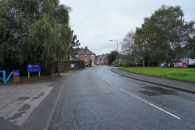
Image: © Malcolm Neal Taken: 15 Oct 2019
The road is Ilkeston Road and to the right of the road behind the trees and houses is the Erewash Canal, a railway line and the River Erewash, so it is no surprise that there were several road signs saying "flood". Thankfully the water had mostly receded.
Images are licensed for reuse under creativecommons.org/licenses/by-sa/2.0
Image Location
Latitude
52.929338
Longitude
-1.285603