Footbridge in Jervis Lum (Woodland)
Introduction
The photograph on this page of Footbridge in Jervis Lum (Woodland) by Jonathan Clitheroe as part of the Geograph project.
The Geograph project started in 2005 with the aim of publishing, organising and preserving representative images for every square kilometre of Great Britain, Ireland and the Isle of Man.

There are currently over 7.5m images from over 14,400 individuals and you can help contribute to the project by visiting https://www.geograph.org.uk
Footbridge in Jervis Lum (Woodland)
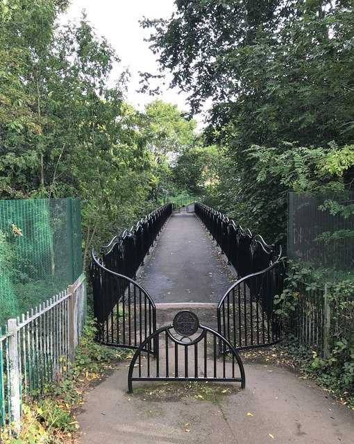
Image: © Jonathan Clitheroe Taken: 9 Oct 2019
Iron bridge crossing a surprisingly deep gorge near the southern end of Norfolk Park. Lum (or 'lumb') refers to a slow-moving stream through a cleft or ravine often joining a pond or lake.
Images are licensed for reuse under creativecommons.org/licenses/by-sa/2.0
Image Location
Latitude
53.365726
Longitude
-1.448743