Redevelopment of remaining barrack block of RAF Uxbridge
Introduction
The photograph on this page of Redevelopment of remaining barrack block of RAF Uxbridge by Andrew Curtis as part of the Geograph project.
The Geograph project started in 2005 with the aim of publishing, organising and preserving representative images for every square kilometre of Great Britain, Ireland and the Isle of Man.

There are currently over 7.5m images from over 14,400 individuals and you can help contribute to the project by visiting https://www.geograph.org.uk
Redevelopment of remaining barrack block of RAF Uxbridge
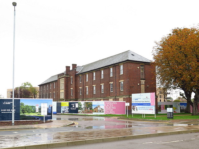
Image: © Andrew Curtis Taken: 12 Oct 2019
See photo here from 2011 Image
Images are licensed for reuse under creativecommons.org/licenses/by-sa/2.0
Image Location
Latitude
51.542506
Longitude
-0.47158