The lane to High Street Green
Introduction
The photograph on this page of The lane to High Street Green by Marathon as part of the Geograph project.
The Geograph project started in 2005 with the aim of publishing, organising and preserving representative images for every square kilometre of Great Britain, Ireland and the Isle of Man.

There are currently over 7.5m images from over 14,400 individuals and you can help contribute to the project by visiting https://www.geograph.org.uk
The lane to High Street Green
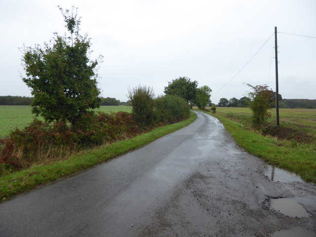
Image: © Marathon Taken: 12 Oct 2019
This is the narrow lane which eventually reaches High Street Green. The access road to Burnt House Farm is on the left. On this miserable October Saturday, it rained from beginning to end.
Images are licensed for reuse under creativecommons.org/licenses/by-sa/2.0
Image Location
Latitude
51.979889
Longitude
0.554145