View up Glen Buchat
Introduction
The photograph on this page of View up Glen Buchat by Bill Harrison as part of the Geograph project.
The Geograph project started in 2005 with the aim of publishing, organising and preserving representative images for every square kilometre of Great Britain, Ireland and the Isle of Man.

There are currently over 7.5m images from over 14,400 individuals and you can help contribute to the project by visiting https://www.geograph.org.uk
View up Glen Buchat
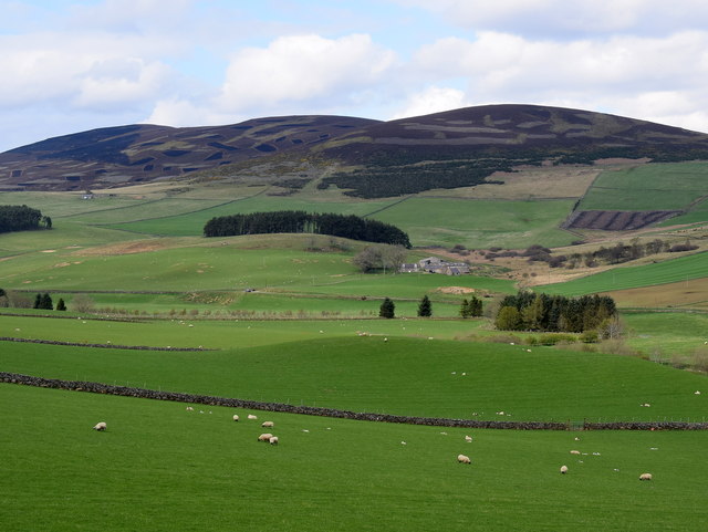
Image: © Bill Harrison Taken: 28 Apr 2019
The Water of Buchat can just be made out snaking around the cluster of trees in the right middle-distance with Blackhillock farm visible farther back and beyond it the trio (from left-to-right) of Clachmaddy hill, Meikle Firbriggs hill and Little Firbriggs hill.
Images are licensed for reuse under creativecommons.org/licenses/by-sa/2.0
Image Location
Latitude
57.229186
Longitude
-3.003222