Former Congregational Chapel (Bromyard)
Introduction
The photograph on this page of Former Congregational Chapel (Bromyard) by Fabian Musto as part of the Geograph project.
The Geograph project started in 2005 with the aim of publishing, organising and preserving representative images for every square kilometre of Great Britain, Ireland and the Isle of Man.

There are currently over 7.5m images from over 14,400 individuals and you can help contribute to the project by visiting https://www.geograph.org.uk
Former Congregational Chapel (Bromyard)
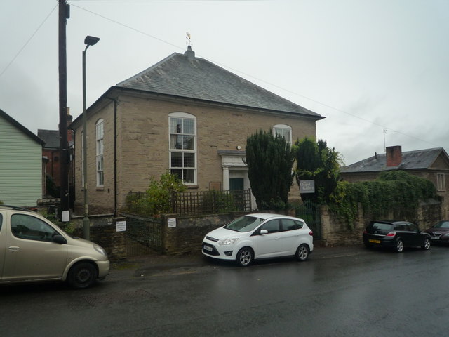
Image: © Fabian Musto Taken: 13 Oct 2019
This building and its next door neighbour (old police station) were both derelict for many decades until being saved in the 2010s. This chapel looked horrific when I saw it in the 2009 Google Maps street-view, and would have looked like that since the chapel's closure in 1971. However, this now houses the Chapel Gallery, which is a nice new use.
Images are licensed for reuse under creativecommons.org/licenses/by-sa/2.0
Image Location
Latitude
52.188564
Longitude
-2.504317