Staffordshire pasture south-west of Longsdon, Staffordshire
Introduction
The photograph on this page of Staffordshire pasture south-west of Longsdon, Staffordshire by Roger Kidd as part of the Geograph project.
The Geograph project started in 2005 with the aim of publishing, organising and preserving representative images for every square kilometre of Great Britain, Ireland and the Isle of Man.

There are currently over 7.5m images from over 14,400 individuals and you can help contribute to the project by visiting https://www.geograph.org.uk
Staffordshire pasture south-west of Longsdon, Staffordshire
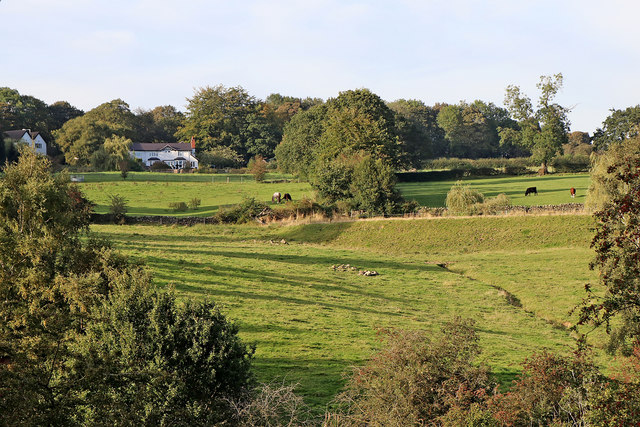
Image: © Roger Kidd Taken: 14 Sep 2019
A telephoto assisted image in early evening sunlight, looking north from the aqueduct on the Caldon Canal (Leek Branch) south-west of Denford. Highroyd Farm is straight ahead, with Bank End Farm on the left.
Images are licensed for reuse under creativecommons.org/licenses/by-sa/2.0
Image Location
Latitude
53.081762
Longitude
-2.06878