Chester Road houses, Buckley
Introduction
The photograph on this page of Chester Road houses, Buckley by Jaggery as part of the Geograph project.
The Geograph project started in 2005 with the aim of publishing, organising and preserving representative images for every square kilometre of Great Britain, Ireland and the Isle of Man.

There are currently over 7.5m images from over 14,400 individuals and you can help contribute to the project by visiting https://www.geograph.org.uk
Chester Road houses, Buckley
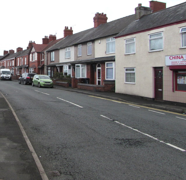
Image: © Jaggery Taken: 12 Oct 2019
Houses on the south side of the A549 Chester Road. China Red takeaway https://www.geograph.org.uk/photo/6295280 on the right is on the corner of Brook Street.
Images are licensed for reuse under creativecommons.org/licenses/by-sa/2.0
Image Location
Latitude
53.165837
Longitude
-3.064222