View up Engels Terrace, South Stanley
Introduction
The photograph on this page of View up Engels Terrace, South Stanley by Robert Graham as part of the Geograph project.
The Geograph project started in 2005 with the aim of publishing, organising and preserving representative images for every square kilometre of Great Britain, Ireland and the Isle of Man.

There are currently over 7.5m images from over 14,400 individuals and you can help contribute to the project by visiting https://www.geograph.org.uk
View up Engels Terrace, South Stanley
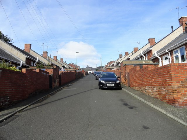
Image: © Robert Graham Taken: 16 Sep 2019
Terraced bungalows built up the steep slope of the hillside below Stanley town Centre. The houses were built by Stanley Town Council sometime between the 1930-40's I think. As the name indicates, it was a staunchly Labour authority.
Images are licensed for reuse under creativecommons.org/licenses/by-sa/2.0
Image Location
Latitude
54.865531
Longitude
-1.688677