Site of Low Stanley
Introduction
The photograph on this page of Site of Low Stanley by Robert Graham as part of the Geograph project.
The Geograph project started in 2005 with the aim of publishing, organising and preserving representative images for every square kilometre of Great Britain, Ireland and the Isle of Man.

There are currently over 7.5m images from over 14,400 individuals and you can help contribute to the project by visiting https://www.geograph.org.uk
Site of Low Stanley
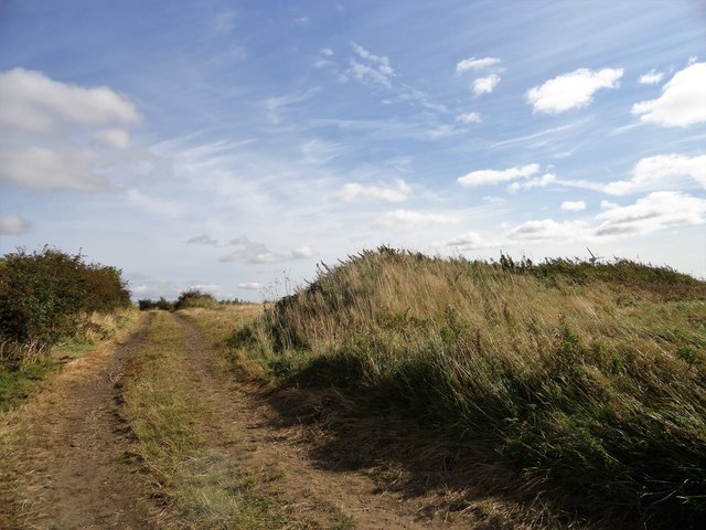
Image: © Robert Graham Taken: 16 Sep 2019
These grassed over hummocks in the field are all that remains of the old farmstead of Low Stanley. This is shown on the First Series O S map of 1861, before the town of Stanley existed. It is shown as a long linear range, which probably means it was 18th century in origin, if not earlier. It was still there on the 1921 map.
Images are licensed for reuse under creativecommons.org/licenses/by-sa/2.0
Image Location
Latitude
54.86504
Longitude
-1.672945