Darent Valley Path
Introduction
The photograph on this page of Darent Valley Path by ponponjo as part of the Geograph project.
The Geograph project started in 2005 with the aim of publishing, organising and preserving representative images for every square kilometre of Great Britain, Ireland and the Isle of Man.

There are currently over 7.5m images from over 14,400 individuals and you can help contribute to the project by visiting https://www.geograph.org.uk
Darent Valley Path
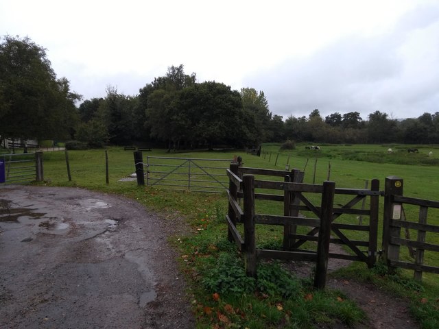
Image: © ponponjo Taken: 12 Oct 2019
The Darent Valley path runs northwards through the kissing gate to the right and through this horse field. The gate to the left leads to the local Scout hut, which can be seen on the left of the image.
Images are licensed for reuse under creativecommons.org/licenses/by-sa/2.0
Image Location


Leaflet Map data © OpenStreetMap
Latitude
51.286547
Longitude
0.173566