Humps in all directions
Introduction
The photograph on this page of Humps in all directions by Richard Sutcliffe as part of the Geograph project.
The Geograph project started in 2005 with the aim of publishing, organising and preserving representative images for every square kilometre of Great Britain, Ireland and the Isle of Man.

There are currently over 7.5m images from over 14,400 individuals and you can help contribute to the project by visiting https://www.geograph.org.uk
Humps in all directions
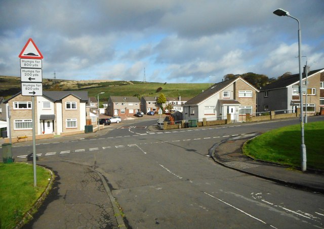
Image: © Richard Sutcliffe Taken: 11 Oct 2019
Junction of Dalgleish Avenue, Beeches Road (running left to right) and Craigielea Road (straight on). All have speed bumps. The photograph is taken from the point where Dalgleish Avenue crosses the line of the Antonine Wall, and so this junction is actually part of a World Heritage Site https://www.historicenvironment.scot/advice-and-support/listing-scheduling-and-designations/world-heritage-sites/antonine-wall/.
Images are licensed for reuse under creativecommons.org/licenses/by-sa/2.0
Image Location
Latitude
55.925755
Longitude
-4.427385