Wilford Lane, West Bridgford
Introduction
The photograph on this page of Wilford Lane, West Bridgford by Stephen McKay as part of the Geograph project.
The Geograph project started in 2005 with the aim of publishing, organising and preserving representative images for every square kilometre of Great Britain, Ireland and the Isle of Man.

There are currently over 7.5m images from over 14,400 individuals and you can help contribute to the project by visiting https://www.geograph.org.uk
Wilford Lane, West Bridgford
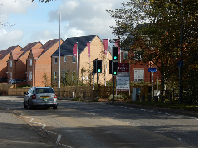
Image: © Stephen McKay Taken: 9 Oct 2019
Linden Homes' Wilford Fields housing development is on the right.
Images are licensed for reuse under creativecommons.org/licenses/by-sa/2.0
Image Location
Latitude
52.926382
Longitude
-1.150582