Part of the A438 road near Bromesberrow
Introduction
The photograph on this page of Part of the A438 road near Bromesberrow by Jeremy Bolwell as part of the Geograph project.
The Geograph project started in 2005 with the aim of publishing, organising and preserving representative images for every square kilometre of Great Britain, Ireland and the Isle of Man.

There are currently over 7.5m images from over 14,400 individuals and you can help contribute to the project by visiting https://www.geograph.org.uk
Part of the A438 road near Bromesberrow
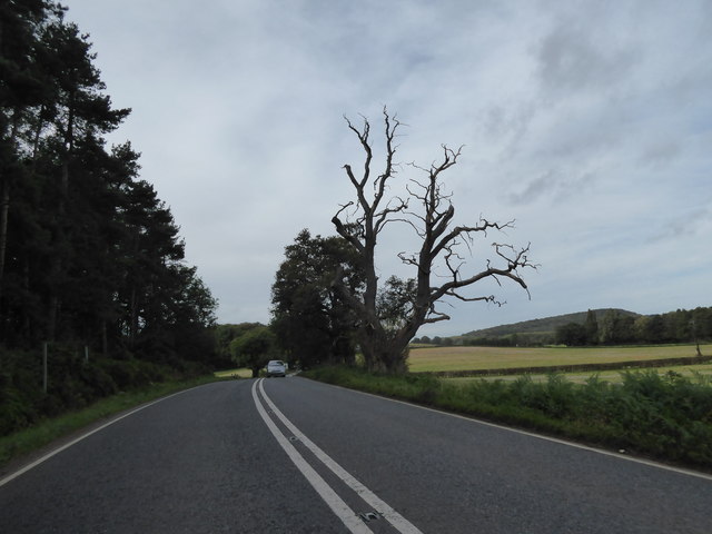
Image: © Jeremy Bolwell Taken: 9 Oct 2019
A similar shot to that taken some ten years previously by my old friend Phil Halling for Geograph, photo https://www.geograph.org.uk/photo/1755696 here. The tree has deteriorated much since then.
Images are licensed for reuse under creativecommons.org/licenses/by-sa/2.0
Image Location
Latitude
51.997715
Longitude
-2.378362