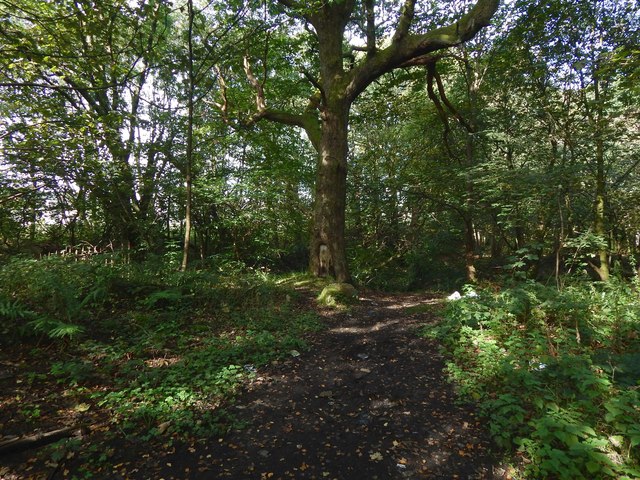
The former site of Rosehead
Introduction
The photograph on this page of The former site of Rosehead by Lairich Rig as part of the Geograph project.
The Geograph project started in 2005 with the aim of publishing, organising and preserving representative images for every square kilometre of Great Britain, Ireland and the Isle of Man.
There are currently over 7.5m images from over 14,400 individuals and you can help contribute to the project by visiting https://www.geograph.org.uk

Image: © Lairich Rig Taken: 30 Sep 2019
Rosehead: "a cottage, the property of the Forth and Clyde Junction Railway Company. Occupied by William [Easson]" [OS Name Books, c.1860]. The cottage is shown on OS maps from the first edition (1860) to at least 1936, though it is only named on the 1860 map. It was situated right next to a railway line, itself long gone; the line used to cross the River Leven by means of Image Rosshead, an area of housing nearby, presumably takes its name, by slight alteration, from the cottage. Another area of housing is directly to the west: Levenvale, which first appears on the 1936 map. That map is odd in that the street names it shows for Levenvale are wrong, with the exception of Argyll Street at the southern end. In a cyclic permutation of the other names, the 1936 map calls Hardie Street Engels Street; Engels Street Lansbury Street; Lansbury Street Burns Street; and Burns Street Hardie Street.

