G?t fochyn yng Nghwmoerant / Kissing gate in Cwmoernant
Introduction
The photograph on this page of G?t fochyn yng Nghwmoerant / Kissing gate in Cwmoernant by Alan Richards as part of the Geograph project.
The Geograph project started in 2005 with the aim of publishing, organising and preserving representative images for every square kilometre of Great Britain, Ireland and the Isle of Man.

There are currently over 7.5m images from over 14,400 individuals and you can help contribute to the project by visiting https://www.geograph.org.uk
G?t fochyn yng Nghwmoerant / Kissing gate in Cwmoernant
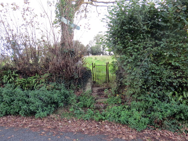
Image: © Alan Richards Taken: 9 Oct 2019
Llwybr cyhoeddus yn gadael yr heol yng Nghwmoernant. A public footpath exiting the road at Cwmoernant (trans. valley of the cold stream).
Images are licensed for reuse under creativecommons.org/licenses/by-sa/2.0
Image Location
Latitude
51.865539
Longitude
-4.303534